


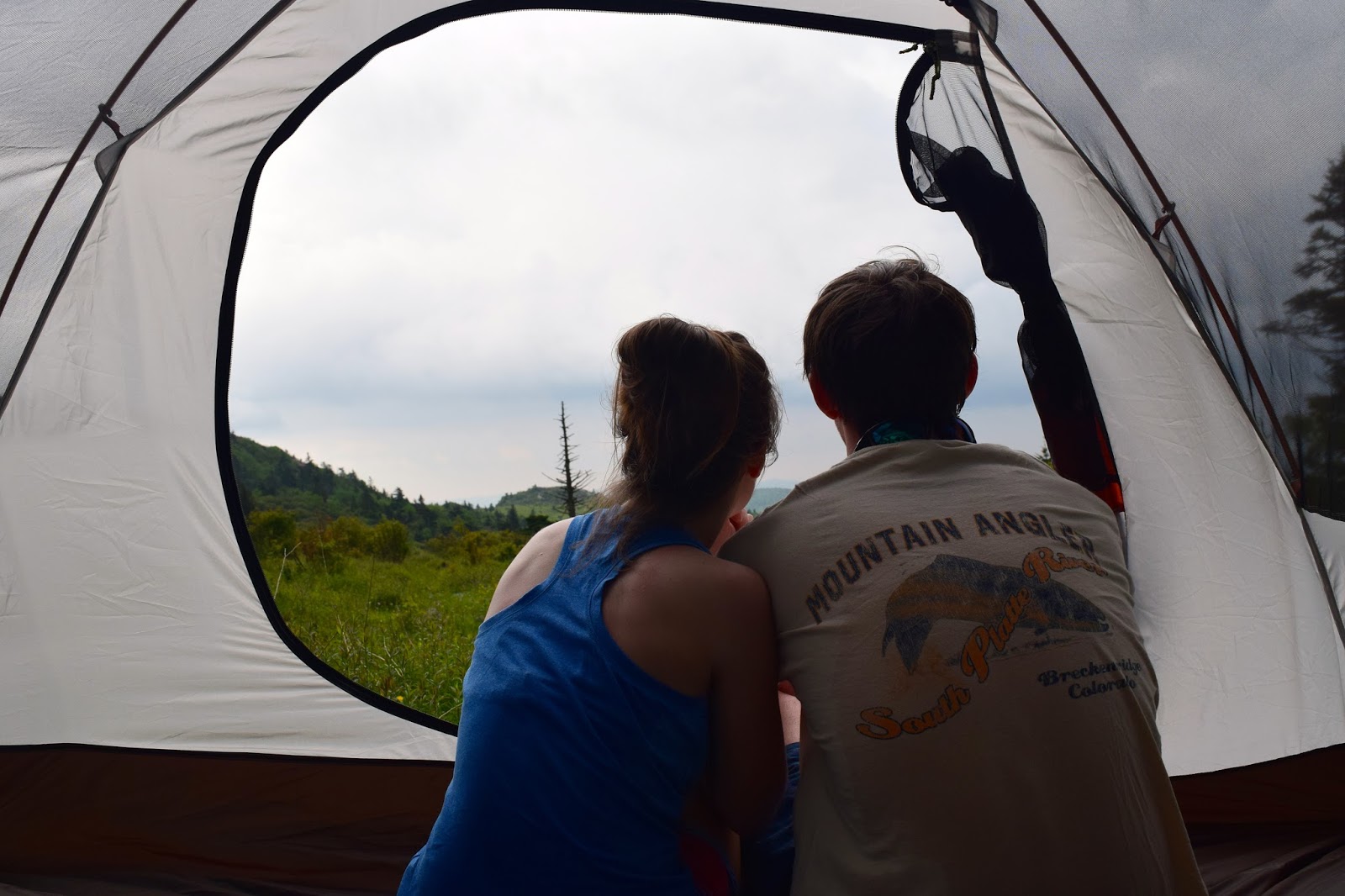


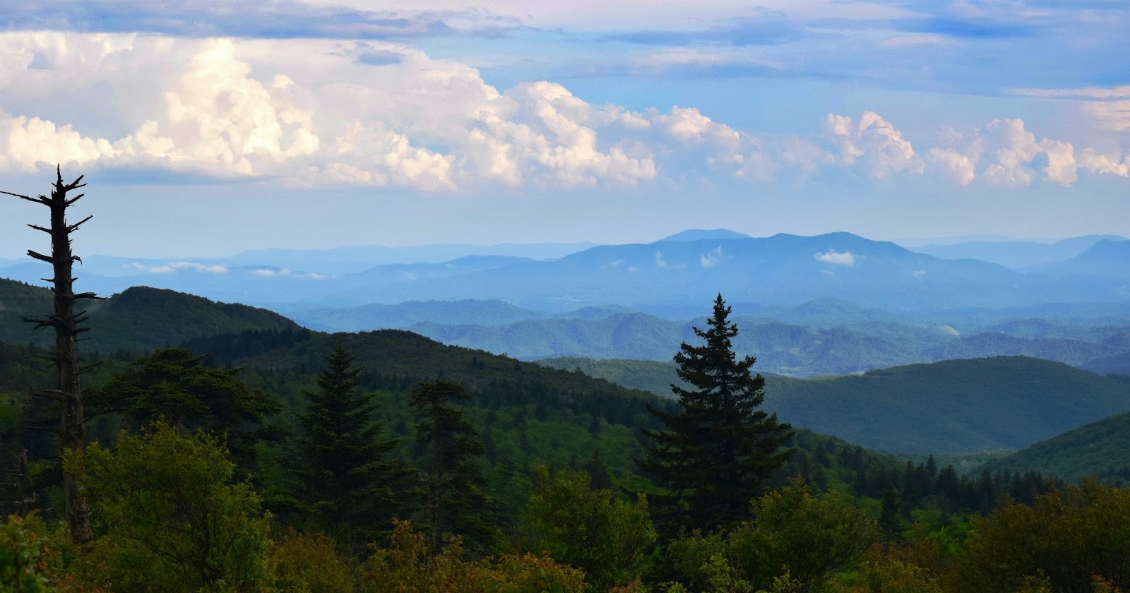


Continued from Part 1: I woke up right as the rain was ending and I put on my boots, zipped up my rain jacket and headed out to see where exactly we had landed. As the clouds began to lift our campsite could not have been more perfectly placed. There was an amazing view of the surrounding mountains, we were right between two little streams that were gurgling with rainwater and there were wild ponies grazing all around us! It was so perfect. We made a yummy dinner and just sat in silence for awhile taking in our surroundings and all the little noises of the Highlands. Close to nightfall fog swept across the mountains and everything got dark pretty fast. We slept all night to the sound of peepers and rain falling on the tent. The next morning we woke up and it was super overcast and raining. We packed up our gear and headed out. You always think it would suck to have to hike in the rain but we both had a great time stomping in puddles. After about a mile a huge gust of wind swept through the mountains and lifted all the fog and clouds and it was amazing! You could see fog seeping out of the valleys below and from that point on it stopped raining and we had a beautiful view.
Directions to our campsite: We started by parking in the overnight backpacking lot within Grayson Highlands State Park. From here we followed the spur trail to the Rhododendron Trail. When we got to the top of the hill we continued straight. When you get to the top of the hill there's a big area where you'll see a lot of signs. If you continue straight you'll have the option of going left or right on the Appalachian Trail, go left. Follow this trail for about .6 miles until you hike up a slight uphill and come to a sign. The sign has a map of the Grayson Highlands/Mount Rogers Recreation Area. There will also be another sign that says Wilburn Ridge. At this point, go through the gate and follow the Appalachian Trail straight ahead of you/slightly to the left. Hike the Appalachian Trail for two miles past this point. When you get to Rhododendron Gap you will take a left onto the Crest Trail. Hike until you see a sign that says "water" and if you get to a metal gate you have gone too far. When you see the sign for water take a left and follow this a couple hundred feet. You will see some big old mossy pine trees and some grassy clearings. That is where we camped! These directions are not the exact hike that we did because we had originally hiked a bit farther on the AT but that is the most direct way to get to where we camped. See the fastest route there via the blue highlighted route below. For a full map of the Mount Rogers Recreation Area go here.

No comments
Post a Comment